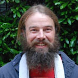
 I work to promote conservation in the mountains of Peru (the Andes). This involves monitoring water quality in local communities affected by mining operations and studying pasture conditions where cows and sheep graze.
While I love the fun field science, I spend most of my time facilitating relationships among local ranchers, tourist guide agencies, mining companies, and the Peruvian government. Without cooperation among these groups of people, conservation is not possible.
Before I became a graduate student I was a cartographer (professional map maker). Maps are great tools for scientific analysis as well as to promote communication and build relationships. Everybody loves maps.
As a SCWIBLES fellow I look forward to sharing my love of maps with the students at WHS. Together we can use maps to understand human relationships with the earth and make better decisions to reduce negative human impacts on the environment.
Contact Tim: txn60@miami.edu
