Using GPS to Learn About Location on the Earth’s Surface
by Tim Norris and Will Federman
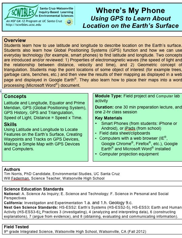
Students learn how to use latitude and longitude to describe location on the Earth’s surface. Students also learn how Global Positioning Systems (GPS) function and how we can use everyday technology (for example, smart phones) to find latitude and longitude. Two concepts are introduced: 1) Properties of electromagnetic waves (the speed of light and the relationship between distance, velocity and time), and 2) Geometric concept of triangulation. Students map the point locations of an object of interest (for example trees, benches, etc.) and then view the results of their mapping as displayed in a web page and in Google Earth®. They also learn how to place their maps into a word processing (Microsoft Word®) document.
Docs: fulltext.docx lecture.pdf activity.docx notes.docx help.docx
Keywords: communication, distance, HS-ESS2.B, GPS, investigations, latitude, longitude, mapping, math, HS-PS4.C, scale, time, velocity