Native Plant Garden

native plant garden
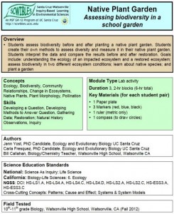
Assessing Biodiversity Using a School Garden

by Jenn Yost, Carla Fresquez and Bill Callahan

One way that we can protect biodiversity is by restoring degraded habitats to more natural conditions. This process can be simulated at a school through the restoration of a degraded plot of land into local native plant communities. Planting a native garden is a way to expose students to local biodiversity, teach them the importance of biodiversity, and mimic what can be done on a large scale to restore ecosystems once they are degraded.

Students 1) develop their own methods to quantify biodiversity, 2) measure biodiversity in a native garden, and 3) gain first hand experience in native plant gardens, restoration, and human impacts on environments.

Docs: fulltext.docx   lecture1.pdf   lecture2.pptx   handout.docx   datasetExs.xlsx   graphs.docx
Keywords: argument, biodiversity, cause, data, HS-ESS3.A, HS-ESS3.C, explanations, garden, investigations, HS-LS1.A, HS-LS2.A, HS-LS2.C, HS-LS4.A, HS-LS4.D, models, native plants, patterns, questions, restoration, systems

Splitting Atoms

splitting atoms
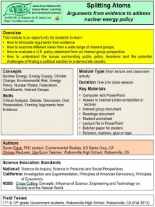
Arguments From Evidence to Address Nuclear Energy Policy

by Duran Fiack and Chrissy MacLean

In this module students represent the views of an interest group that either supports or opposes the expansion of nuclear-generated energy in the U.S. Students learn about the source of energy within the U.S. with a focus on the potential benefits and risks associated with expansion of nuclear energy.

In this module, students learn: How to formulate arguments from evidence, how to examine different views from a range of interest groups, how to evaluate a U.S. policy statement from an interest group perspective. Students will also learn how to understand the issues surrounding public policy decisions and the potential challenges of finding a political solution in a democratic society.

Docs: fulltext.pdf   intro.pdf   reading.pdf   groupnames.pdf   worksheet.pdf
Keywords: argument, cause, communication, HS-ESS3.A, HS-ESS3.C, HS-ESS3.D, evidence, nuclear energy, policy, scale

Oil Pollution Solutions

oil pollution sollution

Oil Pollution in the Marine Environment

by Kristin deNesnera and Satina Ciandro

In this “hands-on” module, students learn about: sources of oil pollution in the marine environment; the effects of oil pollution on marine life, human health, and economies; examples of major oil spills; and the challenges involved in responding to and cleaning up an oil spill.

Students learn: 1) How human activities cause oil pollution, 2) How oil pollution affects marine resources, the environment, 3) About various oil spill clean-up technologies and sorbent materials absorptivity, and 4) About the challenges related to oil spill clean-up.

A video to accompany an inquiry based educational activity (module) used in the SCWIBLES program. Created by Kristin de Nesnera.

Docs: fulltext.pdf   lecture.pdf   activity.docx   costchart.docx
Keywords: clean up, data, engineering, HS-ESS3.A, HS-ESS3.C, HS-ETS1.C, HS-ETS2.B, explanations, investigations, marine, math, models, oil pollution, HS-PS1.A, questions, scale, stability, structure, systems

My Digital Watershed

my digital watershedAnalyzing Watersheds in Google Earth

by Tim Norris and Will Federman

Students perform a computer lab activity to answer basic geographic questions about the watersheds in which they live. This module is an opportunity for students to: 1. Learn how to read topographic maps, 2. Use computers and GIS to visualize topographic information, 3. Learn how to draw using a computer, 4. Learn how to measure area and distance using a computer, and 5. Learn how to interpret satellite imagery to answer basic questions about land-use.

Docs: fulltext.docx   intro.pdf   help.pdf   lecture.pdf   worksheet.docx
Keywords: area, argument, communication, data, distance, HS-ESS3.A, HS-ESS3.C, HS-ETS1.A, explanations, GIS, Google Earth, investigations, mapping, scale, systems, watershed

Contour What?

contour whatby Timothy Norris and Will Federman

This modules is designed as an introduction to understanding topographic maps and GIS using Google Earth. Students perform a computer lab activity to learn how to read topographic maps, measure geographical features, and use geographic information systems (GIS).

Docs: fulltext.docx   lab.pdf   lecture.pdf
Keywords: argument, communication, contour, data, HS-ESS3.A, HS-ESS3.C, HS-ETS1.B, HS-ETS1.C, explanations, GIS, Google Earth, investigations, mapping, patterns, scale, systems

There’s Something in the Water

there's something in the waterInvestigating Water Quality in Local Watersheds

by Yiwei Wang and Dan Johnston

This module teaches students about why watersheds are important
components of the ecosystem and how their health can be impacted by human activities. The objectives are to get students to learn what man-made pollutants are entering their local watersheds, predict which water bodies are most impacted by these contaminants, and test their ideas by using kits to measure water quality. Students will learn how jeopardizing the integrity of the watershed impacts both human health and that of the ecosystem and consider potential ways to mitigate these effects.

Docs: fulltext.pdf   final.doc   handout.doc   handoutkey.doc
Keywords: data, ecosystem health, HS-ESS2.C, HS-ESS3.A, explanations, investigations, HS-LS2.C, models, pollution, water quality, watersheds

Rocks Rock!

Rocks rock
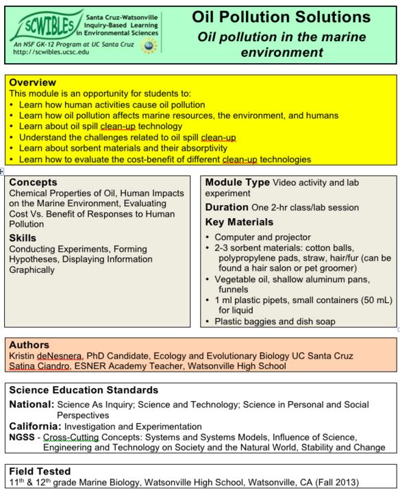
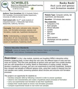
Rock cycle and igneous rock formation

by Tara Cornelisse

In this 1-day module, students use Houghton-Mifflin’s interactive online textbook, Exploring Earth, to learn about the rock cycle, the different types of rocks and how rocks are formed. They then look specifically at igneous rocks and learn how crystals develop and vary with temperature of cooling. Based on observations of cooling crystals, students develop a hypothesis, in groups, and carry out experiments to test their hypotheses. Students then compare real samples of different igneous rocks, using their results to interpret how the rock samples were cooled, answering questions about intrusive and extrusive rock formation processes.

Docs: Fulltext.pdf   RockLab.pdf   IgneousLab.pdf   IgneousKey.pdf
Keywords: data, HS-ESS3.A, explanations, geology, igneous, investigations, patterns, HS-PS1.A, questions, rock cycle, rock formation, rocks, structure

The Road to Sustainability

the road to sustainability

Closing the Loop by Achieving Zero Waste

by Tara Cornelisse

Students learn that the products they own go through a materials economy that includes natural resource extraction, production, distribution and themselves as consumers and disposers. Learning that this is unsustainable, students do a waste characterization of school trash and calculate the percent of trash that can be diverted from landfills with the goal of zero waste.

Docs: Full text.pdf
Keywords: data, HS-ESS3.A, HS-ESS3.C, explanations, investigations, life cycle analysis, math, patterns, questions, sustainability, systems, zero waste

Filtering out Pollution

filtering out pollution
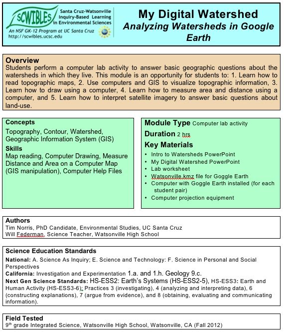
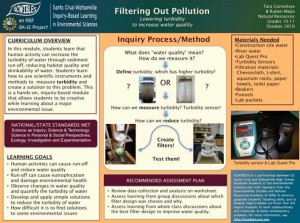
Lowering Turbidity to Increase Water Quality

by Tara Cornelisse and Ruben Mejia

In this lab activity, students learn what turbidity is and how to measure it using a turbidity sensor connected to a data logger. Students then use an array of readily available materials to investigate how to build a water filter that efficiently reduces turbidity.

Docs: fulltext.pdf
Keywords: build, data, HS-ESS3.A, HS-ESS3.C, HS-ETS1.C, HS-ETS2.B, explanations, investigations, HS-PS1.A, questions, turbidity, water, water filter, water quality