My Digital Watershed

my digital watershed
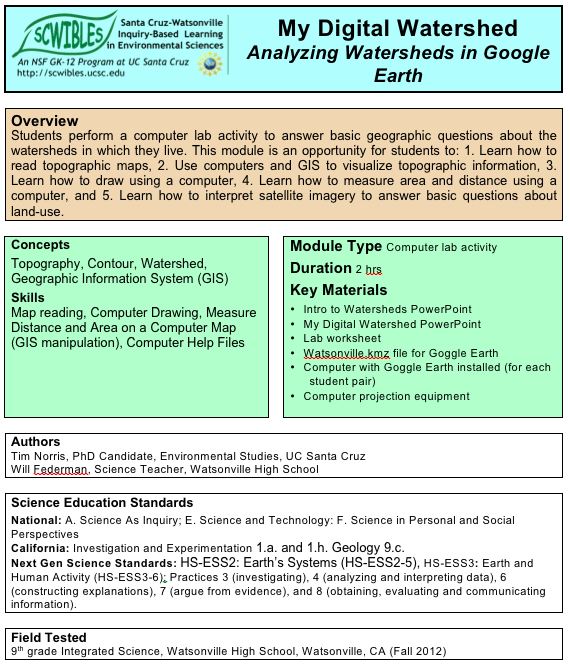
Analyzing Watersheds in Google Earth

by Tim Norris and Will Federman

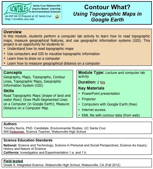
Students perform a computer lab activity to answer basic geographic questions about the watersheds in which they live. This module is an opportunity for students to: 1. Learn how to read topographic maps, 2. Use computers and GIS to visualize topographic information, 3. Learn how to draw using a computer, 4. Learn how to measure area and distance using a computer, and 5. Learn how to interpret satellite imagery to answer basic questions about land-use.

Docs: fulltext.docx   intro.pdf   help.pdf   lecture.pdf   worksheet.docx
Keywords: area, argument, communication, data, distance, HS-ESS3.A, HS-ESS3.C, HS-ETS1.A, explanations, GIS, Google Earth, investigations, mapping, scale, systems, watershed

Contour What?

contour whatby Timothy Norris and Will Federman

This modules is designed as an introduction to understanding topographic maps and GIS using Google Earth. Students perform a computer lab activity to learn how to read topographic maps, measure geographical features, and use geographic information systems (GIS).

Docs: fulltext.docx   lab.pdf   lecture.pdf
Keywords: argument, communication, contour, data, HS-ESS3.A, HS-ESS3.C, HS-ETS1.B, HS-ETS1.C, explanations, GIS, Google Earth, investigations, mapping, patterns, scale, systems

Roadkill Reduction with GIS

road-kill reduction with GIS

Learning to Use Layers

by Beth Bastiaans and Dan Johnston

What factors influence roadkill densities on our streets and highways? What steps can we take to protect wildlife? In this 2-hour module, students use Google Earth to learn how Geographical Information Systems (GIS) technology can help solve environmental problems. They also develop and test their own original hypotheses about roadkill, a familiar, local environmental issue. By combining multiple GIS layers in Google Earth, students develop and test hypotheses about which other landscape features may be correlated with roadkill frequency. Finally, the students discuss the difference between correlation and causation and what factors might bias their analyses.

Docs: Fulltext.pdf
Keywords: argument, causation, cause, communication, correlation, data, HS-ESS3.C, HS-ETS2.A, HS-ETS2.B, explanations, GIS, investigations, layers, math, patterns, questions, roadkill, systems